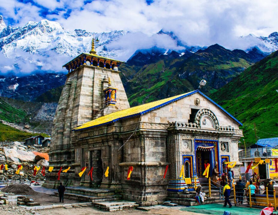
Kedarnath Temple is one of the twelve Jyotirlingas of Lord Shiva, located near the Mandakini River in the Himalayas of Garhwal, Uttarakhand. Positioned at an altitude of 3,583 meters above sea level, it is the primary shrine of both the Char Dham and Panch Kedar pilgrimage circuits.
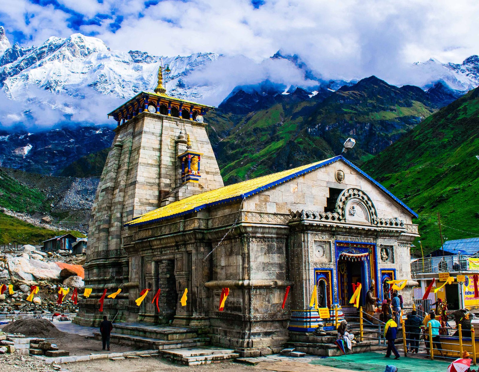
Sacred Overview & Architectural Heritage
Essential Pilgrim Facts & Logistics
Verified Data
District
Rudraprayag
Circuit / Cluster
Char Dham
Panch Kedar
Primary Deity
Lord Shiva
Altitude
3,583 m
(11,755 ft)
Trek & Roadhead
16 km trek from Gaurikund
Recommended Season
May to June & September to October
Pilgrimage Schedule
Opens: Akshaya Tritiya (April/May) | Closes: Bhai Dooj (October/November)
Winter Worship Seat (Gaddi Sthal)
Omkareshwar Temple, Ukhimath
Priesthood Lineage
Rawal (Veerashaiva Lingayat of Karnataka)
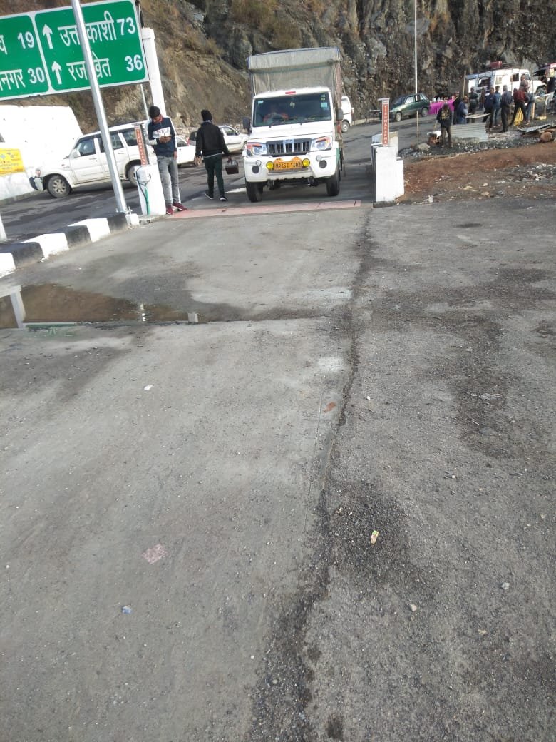
OpenStreetMap Route & Pilgrimage Access Map
Live spatial coordinates and transit route from the most searched transit hub to Kedarnath Temple.
Est. Road Distance
Calculating...
Est. Mountain Drive
Calculating...
On-Foot Trek
16 km from Gaurikund
Route via Rishikesh: Main pilgrimage base with extensive taxi union, bus depot & rail connectivity.
More Temples in the Char Dham Circuit
Char Dham
3,291 m
6 km Trek
Uttarkashi District
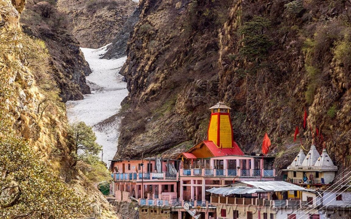
Yamunotri Temple
Westernmost Char Dham shrine dedicated to Goddess Yamuna located at 3,291 m in Uttarkashi district.
Char Dham
3,100 m
Roadside Access
Uttarkashi District
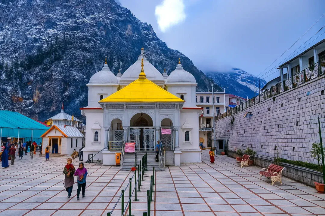
Gangotri Temple
Sacred seat of Goddess Ganga located at 3,100 m on the Bhagirathi river in Uttarkashi district.
Char Dham
3,133 m
Roadside Access
Chamoli District
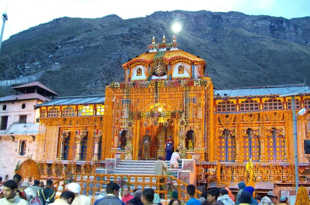
Badrinath Temple
Preeminent Himalayan shrine of Lord Vishnu located at 3,133 m in Chamoli district along the Alaknanda River.